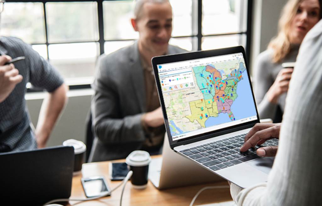
Geo-analytics is a relatively new concept for many businesses. Industry is learning quickly how important these datasets are to making quick and trusted business decisions. But in truth, the value of geographical knowledge has been known to us for centuries. With an increasing array of satellites orbiting our Earth and returning highly accurate imagery to sensors on the ground, we are increasingly able to incorporate geo-analytics into our everyday decision making procedures and come out with even greater strategies than ever before. Industry has taken notice of the incredible power of platforms like ArcGIS Enterprise and begun hiring GIS analysts like never before.
1. Advertising
Contents
The ad industry is all about targeting people for maximum consumption. Former iterations of this research relied heavily on demographics as the primary factor in a person’s interest or ambivalence toward a particular product or brand. However, location data is making a play for this pole position in the modern world. We live in increasingly spatialized communities that see our home as a central actor in the very fabric of our being. As such, location plays a major role in brand association and loyalty, perhaps more than ever before. New York Bagels, for instance might not sell well in Boston, but the packages likely fly off the shelves in South Florida, where a substantial New Yorker population resides.
2. Policymaking
Policymakers across the United States rely on mapping products and corresponding GIS applications in order to roll out solutions to the problems faced in communities in all corners of the nation. These might be small or routine needs like site selection for polling places every two years on Election Day. Alternatively, policymakers rely on big data solutions and analytics and rapid feature layer rendering in order to guide search and rescue efforts in the aftermath of a hurricane or earthquake that threaten the lives of countless citizens every year.
The coronavirus has created another unique use case for real time map products and analytics driven by GIS datasets. Mapping and responding to outbreaks and growing caseloads in rural and city communities all across the United States requires a unified front and a robust leadership that directs resources and personnel to the most appropriate scene at any given time. GIS data provides this edge over a relentless and invisible enemy that threatens our public health in the real and immediate world around us.
4. Shipping and Manufacturing
The shipping industry simply could not survive without the new insights provided by location data. Organizing the absolutely astounding volume of goods and products shipped throughout the United States and the world every minute of every day could not happen without efficient database design that took location data into account. Without these crucial pieces of information, sellers and buyers would be at the mercy of slow and inefficient human quality control to route every package from one location to the next. The task is mammoth and could not be accomplished without geo-analytics underpinning the entire operation.
5. Roadworks and Surveying
Construction projects also rely in the insights gained through satellite imagery and the creation of feature layers to chart a path for road pavement and green space preservation. Feature extraction and site selection functions are par for the course in the day of a GIS analyst. These techniques are unique to the geo-analytics field and facilitate the smooth transition from the planning phases to the laying and painting of new roadways.
6. Automotive Sales
Finally, car sales rely on these data points as well. Understanding the needs of drivers in a particular location helps dealerships deliver the appropriate vehicles to the target audience in order to facilitate greater access to the automotive marketplace. Without the insights gained here, dealerships would face unprecedented scarcity of the types of vehicles that local buyers are most interested in, driving the prices higher as well.
Geo-analytics are crucial to business and government function. We simply can’t operate without this layer of analysis.


